Hyperspectral payload
A custom imaging spectrometer capturing 100+ contiguous bands per pixel.
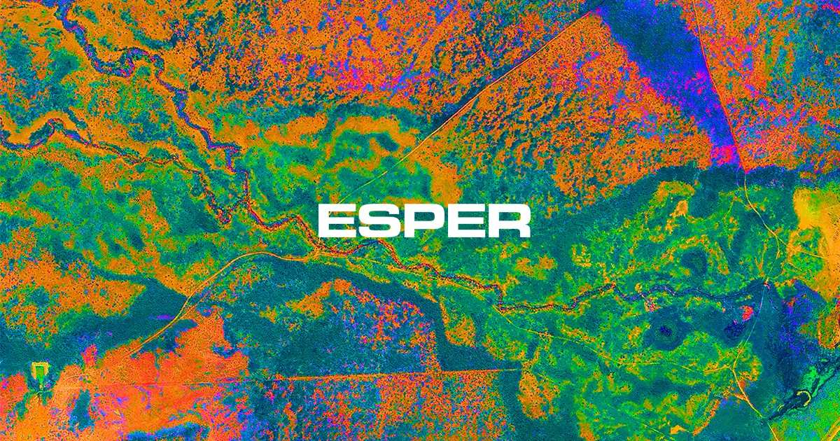
Esper Satellite Imagery — Melbourne, Australia
Esper is a builder and operator of remote sensing satellites capable of high-resolution hyperspectral imagery. We map the mineral fingerprint of the Earth's surface — so you can survey the ground before you ever break it.
100+ Bands · 400–2000 nm · ~30 m GSD · Daily revisit (2026 roadmap)
What we do
Most satellites see in a handful of broad colors. Esper's microsatellites resolve 100+ contiguous spectral bands from 400 to 2000 nanometers — across the visible, near-infrared and shortwave-infrared. That continuous signal is a chemical fingerprint: every mineral, crop and material reflects light its own way.
We design, build and operate the whole stack — payload to orbit to analytics — so explorers and operators can survey minerals from a computer, long before a single drill turns.
The numbers
Contiguous spectral channels
VNIR–SWIR range
Ground sample distance
Target constellation, daily revisit
The technology
Where a multispectral sensor samples a few wide bands, Esper captures a dense, continuous curve. Subtle absorption features — invisible to the eye and to legacy satellites — reveal alteration zones, clays, iron oxides and pathfinder minerals that point toward what lies beneath.
A custom imaging spectrometer capturing 100+ contiguous bands per pixel.
400–2000 nm coverage to resolve mineral and chemical signatures.
Continuous radiometric calibration keeps every spectrum analysis-ready.
Missions / Flight heritage
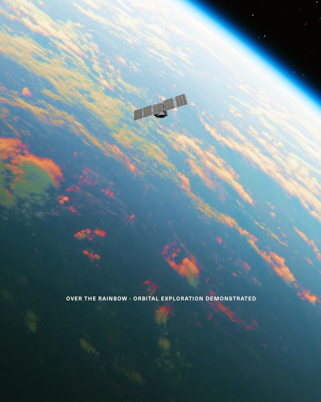
Over The Rainbow 1. First Esper hyperspectral demonstrator on orbit.
Over The Rainbow 2. Expanded spectral payload, validated VNIR–SWIR capture.
Flagship constellation. Four dedicated SWIR payloads; first launches 2026.
Scaling to 18 satellites for daily global revisit.

Who it's for
Map alteration and pathfinder minerals to focus exploration and de-risk drill targets.
Learn morePersistent, wide-area material detection and change monitoring from orbit.
Learn moreSurvey terrain, monitor sites and infrastructure across remote operations.
Learn moreTrack crop health, soil and stress through the full spectral signature.
Learn more
Four Leaf Clover
Our flagship constellation puts four SWIR payloads in orbit, the first stage of a path to eighteen satellites and daily global revisit — turning hyperspectral survey from a campaign into a subscription.
See the roadmapThe team
Forbes 30 Under 30A Melbourne team building satellites end-to-end — recognized on the Forbes 30 Under 30 list.


Backed by
Techstars — 2023
Get started
Survey minerals from your computer before going on-ground. Request access to Esper hyperspectral data.